Damaging gusts of up to 137 km/h struck parts of Auckland as severe winds disrupted morning travel across the Auckland Harbour Bridge.
Multiple spots across the country were stuck with wild gusts that far exceeded 100 km/h.
Manukau Heads saw gusts reach 137 km/h at 10am, and Remutaka Hill Rd summit experienced gusts of 148 km/h at 9pm last night.
Earlier today, lanes on the Auckland Harbour Bridge were reduced in each direction for a short spell.
Winds were expected to continue to buffet the city, and the bridge is under an alert that it may close or have lanes reduced at short notice as the severe weather that battered the South Island reaches the top of the country.
Earlier the NZ Transport Agency (NZTA) warned motorists to expect delays.
This morning at 10.20am, severe gusts forced the agency to cut the number of lanes operating north and south across the bridge.
It advised those in high-sided vehicles and on motorbikes to delay their journey.
The lane reduction lasted 10 minutes before it was lifted, though a reduced speed limit remains in force.
Earlier, the agency said speed and lane reductions were likely, while full closures might be needed when 85km/h gusts strike.
Motorists travelling across the bridge are advised to do so with care, especially motorcyclists and those in high-sided vehicles.
Damaging winds flipped a truck, and heavy rain caused flooding in the south yesterday, but conditions are expected to improve for many today.
MetService meteorologist Lewis Ferris told the Herald the brunt of the weather system is now travelling north.
‚ÄúThe intensity is forecast to drop off a little bit. So we wouldn‚Äôt be expecting as much risk of thunderstorms or prolonged, heavy rain,‚ÄĚ Ferris said.
Most people around the North Island will get a burst of heavy rain, he said.
Blustery day for Auckland
Ferris said it was looking to be a blustery day for Auckland, with wind gusts of around 60km/h expected around most of the city.
‚ÄúIt‚Äôll be a noticeably windy day, but again, it‚Äôs not the type of wind that should be causing too much in the way of disruption.‚ÄĚ
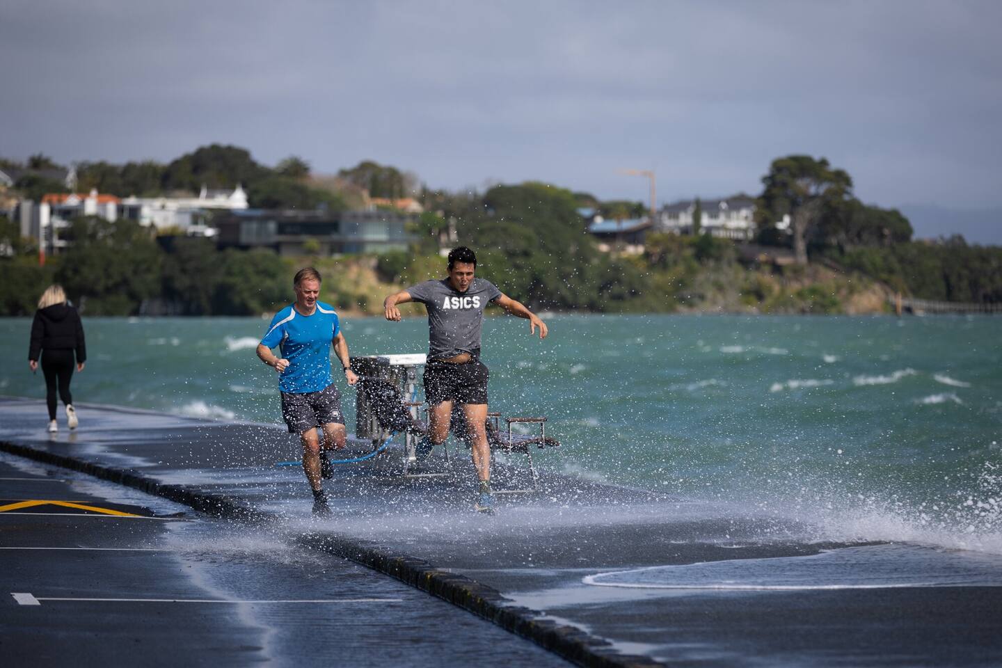
Strong wind and waves on Curran St, Auckland. Photo / Sylvie Whinray
He said the wet weather sets in from the middle of the day and might hold on for the evening commute.
NZTA said gusts of 85km/h are set to hit between 9am and 2pm.
To ensure safety, the harbour bridge will have only four lanes open in each direction for the morning peak.
Severe watches and warnings
An orange heavy rain warning was in force for the Tararua Range until 10am.
An orange strong wind warning was in place until 6am in Wellington and until noon for Wairarapa and the Tararua District.
Cooler air is on the way for the far south this morning, bringing the risk of snow for some alpine roads.
Crown Range Rd and Milford Rd (State Highway 94) are under snowfall warnings.
A heavy swell warning was in place until 9am for KńĀpiti-Porirua Coast/ŇĆtaki to Cape Terawhiti.
Northwest combined waves are expected to rise to 4-4.5m.
The country will hold on to the warmer temperatures of this week.
‚ÄúWe had some parts of Canterbury get into the sort of mid-20s, but they‚Äôll drop back a little bit,‚ÄĚ Ferris said.
‚ÄúOn Friday, we do have cooler air making its way up from the south. So the warmer temperatures aren‚Äôt exactly here to stay just yet.‚ÄĚ
Weekend weather
Ferris said that broadly, the weather remains unsettled into the weekend.
‚ÄúThis isn‚Äôt the only weather for this week. I think the underlying theme we‚Äôre trying to get to is that we‚Äôre in a period of unsettled weather, so don‚Äôt expect the weather to be sort of the same two days in a row,‚ÄĚ he said.
Ferris said a similar weather system looks to move over the country late on Saturday.
Take your Radio, Podcasts and Music with you
Get the iHeart App
Get more of the radio, music and podcasts you love with the FREE iHeartRadio app. Scan the QR code to download now.

Download from the app stores
Stream unlimited music, thousands of radio stations and podcasts all in one app. iHeartRadio is easy to use and all FREE


